Link to Current Time Link to Conversion Calculator Link to Millibars to Altitude Table
 
Link to HomeLink to Site GuideLink to Quick Weather ReportsLink to ClimateLink to Tropical ReportsLink to Satellite ImagesLink to Weather StationsLink to Earthquake and Volcano InformationLink to Weather Related LinksLink to About UsLink to Contact Us
Latest Satellite Images
Inter Tropical Convergence Zone


Visible Infrared Water Vapor
temp
     
(click on image for link to interactive web page then click on Panama on the map)

Open Real Earth Interactive Satellite Imaging 

     
Link to Latest World Sea Temperatures
 
[ top ]
 
Other useful Satellite Links:

Satellite Cloud Images:

GOES Full Globe Interactive Infrared Image

Global Infrared Image

U.S. Navy Satellite Images for Atlantic Tropics

Rainrate Satellite Images for Central America (U.S. Navy)

Winds:

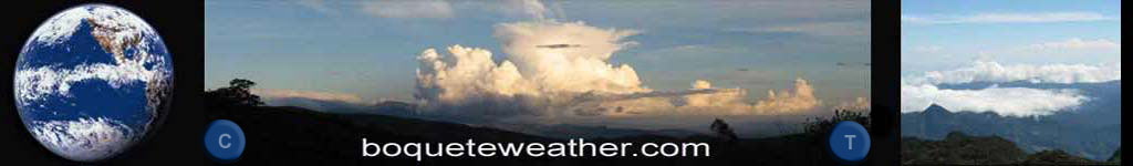
Earth - A Visualization of Global Weather Conditions

NOAA GOES Satellite Wind Imagery

Sea Temperatures:

NOAA Latest Atlantic Ocean Temperatures

SSEC Latest World Sea Surface Temperatures

 
[ top ]
 
 
[ back to previous page ]
 

Copyright © 2007 Boqueteweather.com